File:Aerial photograph of Salford and Trafford Park.jpg
Jump to navigation
Jump to search
Size of this preview: 800 × 600 pixels. Other resolutions: 320 × 240 pixels | 640 × 480 pixels | 1,024 × 768 pixels | 1,280 × 960 pixels | 2,048 × 1,536 pixels.
Original file (2,048 × 1,536 pixels, file size: 3.32 MB, MIME type: image/jpeg)
Captions
Captions
Add a one-line explanation of what this file represents
| Description |
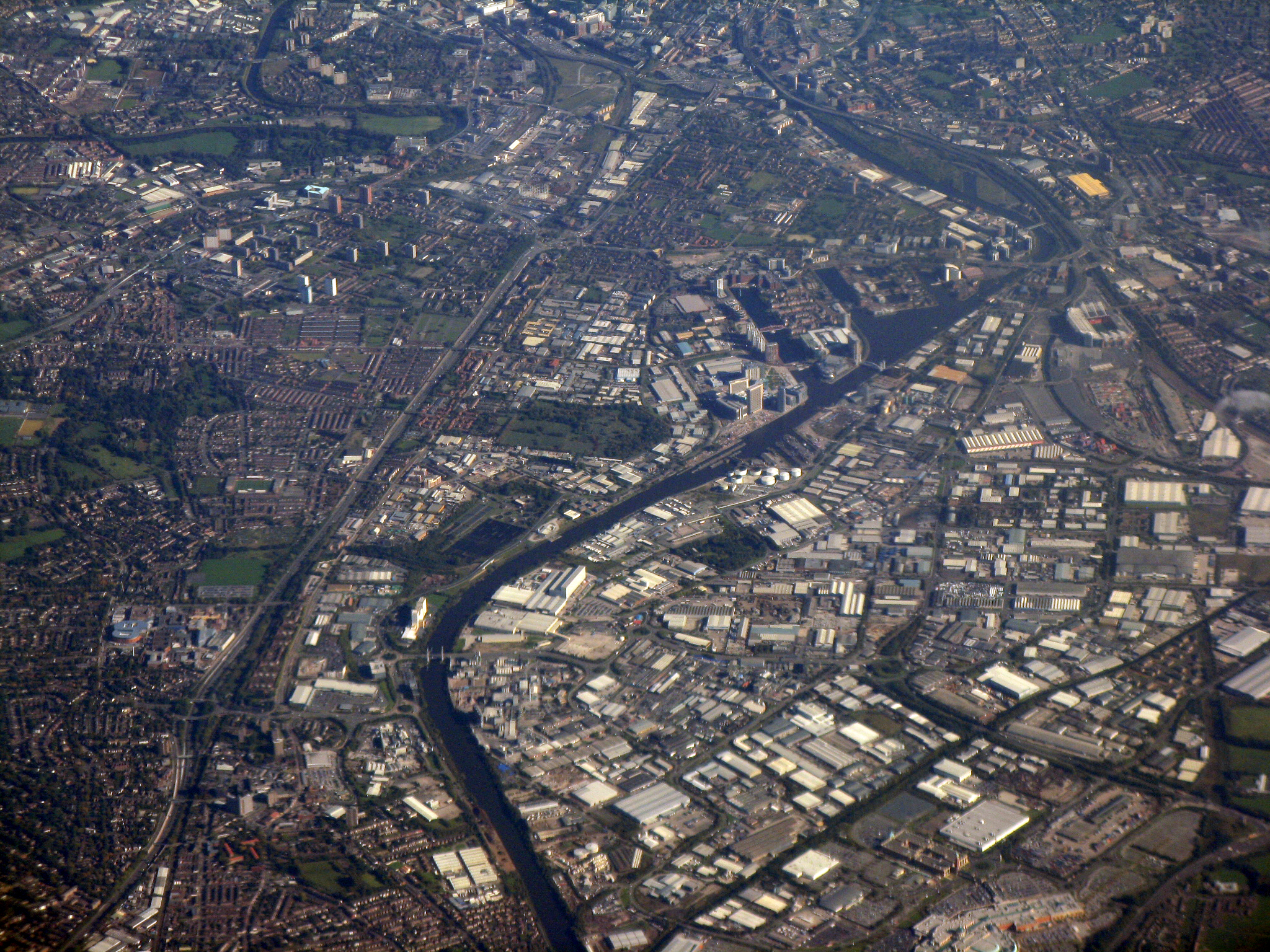
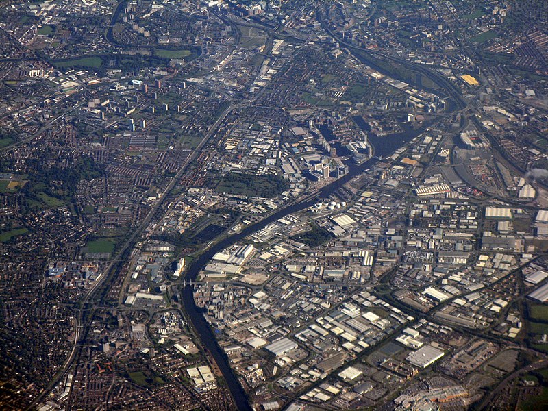
An aerial photograph of Salford (left half of image), Salford Quays (centre part of image), Trafford Park (bottom-right quartile of image), and the fringes of Manchester city centre (the top 10% of the image), all of which are in Greater Manchester, England. Landmarks in this shot include the meander of the River Irwell by Salford University (top left), and (beneath that) the tower blocks at Pendleton in Salford. The waters of the Manchester Ship Canal bisect the image, very roughly down the middle. On the right-hand side, about two-thirds the way up, is Old Trafford, the home stadium of Manchester United F.C. Trafford Park spans the bottom-right quartile of the image. |
||
| Date | |||
| Source | https://www.geograph.org.uk/photo/2103098 | ||
| Author | M J Richardson | ||
| Permission (Reusing this file) |
This file is licensed under the Creative Commons Attribution-Share Alike 2.0 Generic license. Attribution: M J Richardson
|

| Camera location | | View this and other nearby images on: OpenStreetMap |
|---|
_heading:90.00&language=en)
| Object location | | View this and other nearby images on: OpenStreetMap |
|---|
_heading:90.00&language=en)
File history
Click on a date/time to view the file as it appeared at that time.
| Date/Time | Thumbnail | Dimensions | User | Comment | |
|---|---|---|---|---|---|
| current | 13:24, 11 October 2010 | | 2,048 × 1,536 (3.32 MB) | Jza84 (talk | contribs) | Adjusted contrast and colour to sharpen image and remove mist |
| 13:20, 11 October 2010 | 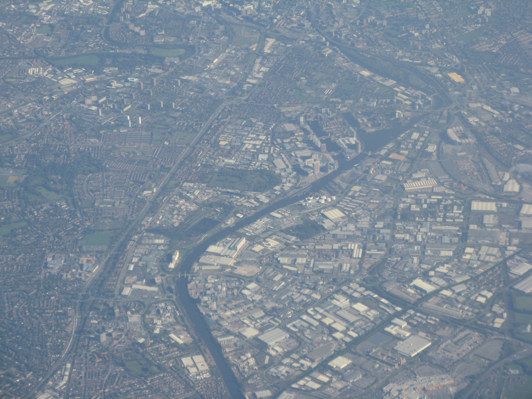 | 2,048 × 1,536 (2.01 MB) | Jza84 (talk | contribs) | {{Information |Description=An aerial photograph of Salford (left half of image), Salford Quays (centre part of image), Trafford Park (bottom-right quartile of image), and the fringes of Manchester city centre (the top 10% of the image), all of which are i |
You cannot overwrite this file.
File usage on Commons
There are no pages that use this file.
File usage on other wikis
The following other wikis use this file:
- Usage on en.wikipedia.org
- Usage on wo.wikipedia.org